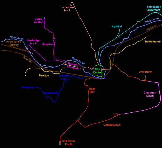
The system covers the majority
of the built-up area of Bath.
It is estimated to serve:
75% Residential properties within 250 metres
90% Residential properties within 500 metres
100% Existing and proposed P+R sites
Bath Spa Station
Existing and proposed bus station
Coach station
Royal United Hospital
Mineral Water Hospital
Guildhall
Central Library
All central churches and places of worship
Theatre Royal and all cinemas
All other central places of entertainment
All city centre shops
Sainsburys and Safeways supermarkets
Bath University
Bath Technical College
Most schools (see maps for details)
MOD Foxhill
Twerton Park football ground
Bath Rugby Ground
Cricket Ground
Sports Centre